หมวดหมู่สินค้า: Pavement Testing Equipment
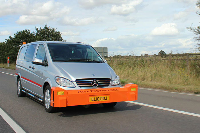
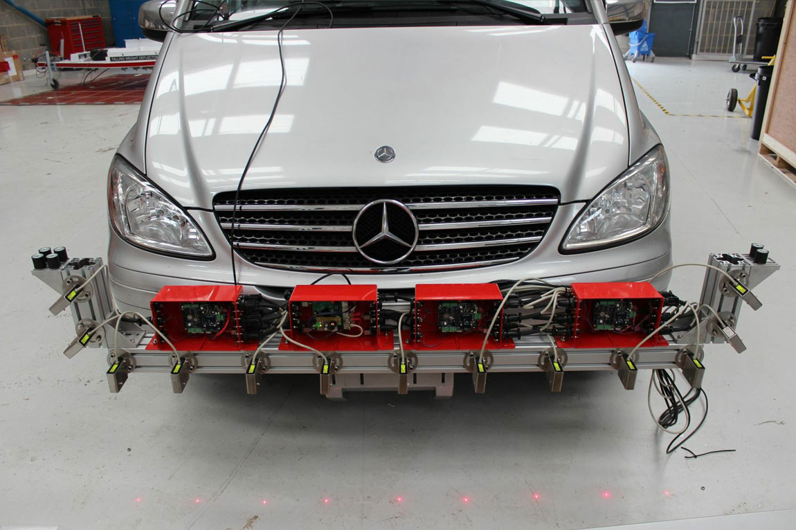
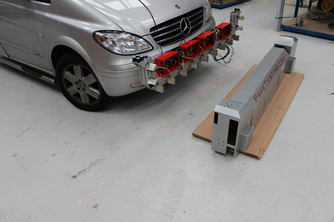
เครื่องมือที่ใช้สำหรับวัดความเรียบ ความขรุขระ และความโค้งของพื้นผิวถนนด้วยความเร็วสูง ด้วยมีเทคโนโลยีเลเซอร์
*ราคาอาจมีการเปลี่ยนแปลงตามอัตราแลกเปลี่ยน โปรดสอบถาม Line : @siamintercorp
14 สิงหาคม 2568
ผู้ชม 1452 ผู้ชม
|
GPS option include standard Wired GPS for accuracy to within 5 meters. Alternatively using the NEMA standard any GPS system can be integrated to meet customers’ requirements including sub 1 meter accuracy. All data is then linked to GPS coordinates which can be used to precisely locate areas of interest within the data sets. |
PaveProf data collecting includes but is not limited to the following international standards:.
|


